The Covid pandemic has been difficult for everyone for different reasons. One of the challenges for archaeologists who depend on travel for their research is that we have been unable to do fieldwork. Eventually, in April 2021 it became safe and possible to travel from Portugal to South Africa for fieldwork. We took all necessary precautions to carry out our research safely and in accordance with South African guidelines.
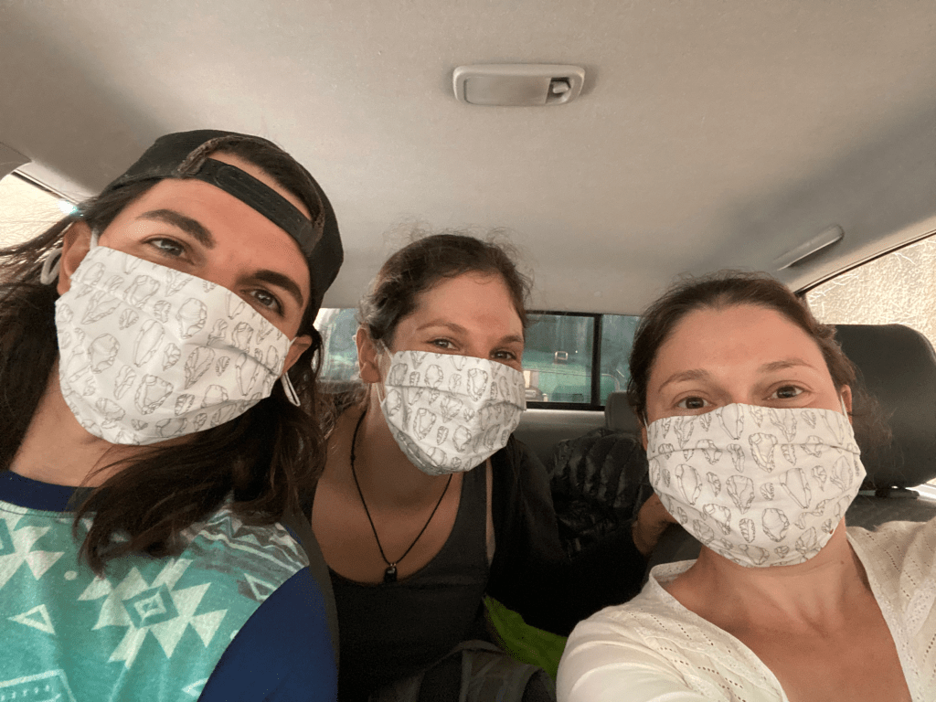
The first phase of my 11 week visit was a long-awaited return to the Tankwa Karoo (after 6 years) for a month of fieldwork. My trusted fieldwork colleagues who have worked with me previously in the Tankwa returned to assist – Matthew Shaw (PhD student at University of Wollongong, Australia) and Candice Koopowitz (MSc graduate from Simon Fraser University, Canada).

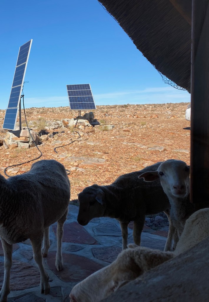
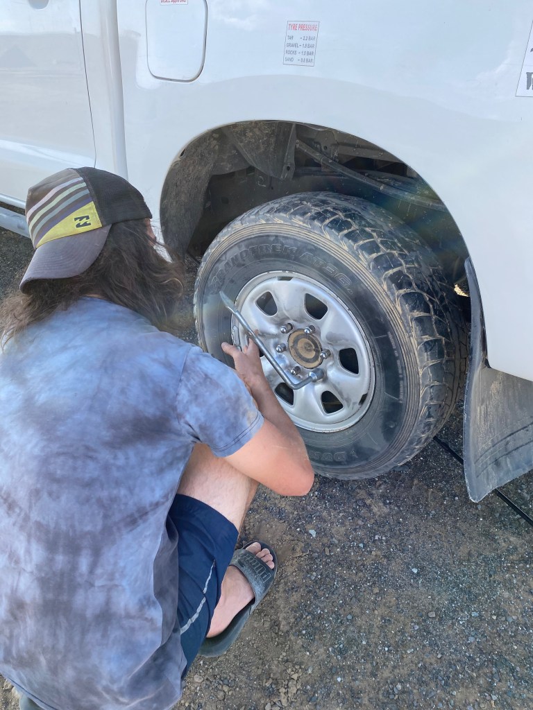
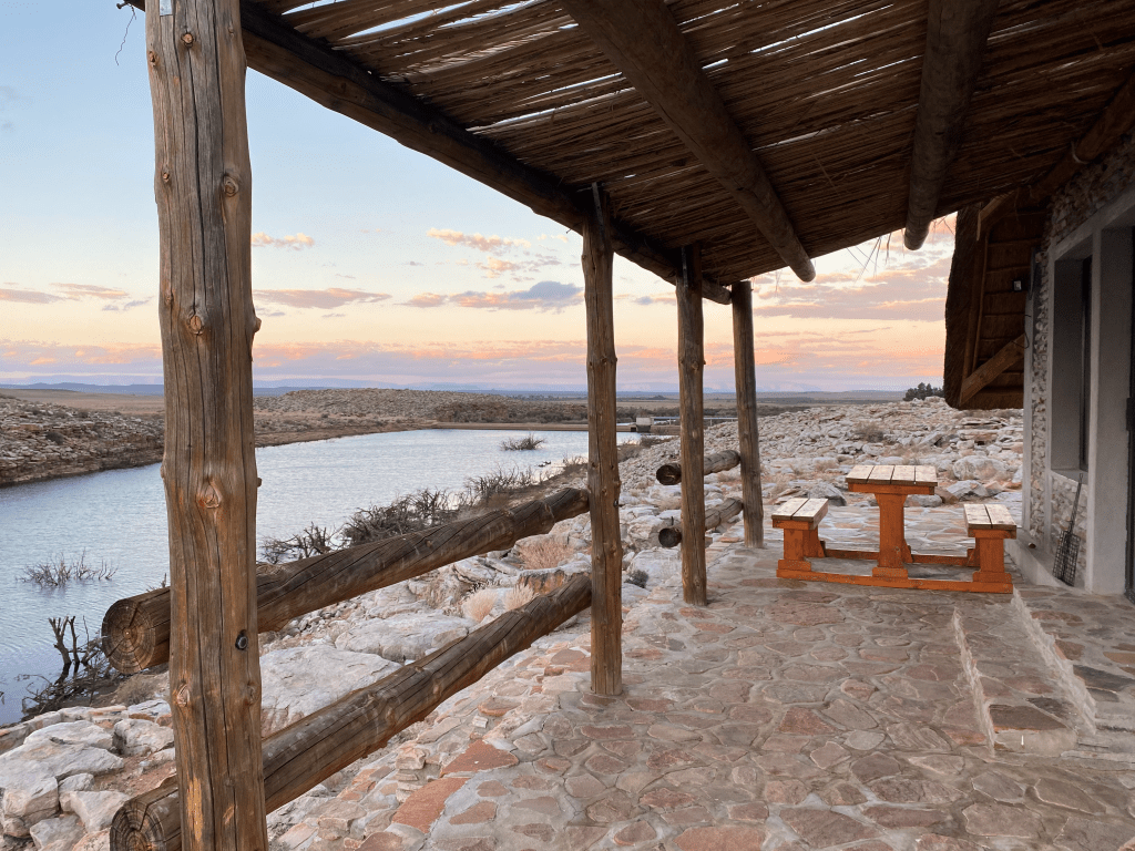
Unlike our previous fieldwork for my PhD which had only had a shoe-string budget, my MCSA fellowship allowed us to rent a fully-equipped 4×4 ‘bakkie’ (with two spare tyres) from Berg 4×4 to tackle the stony desert roads, and I was also entrusted with ICArEHB’s state-of-the-art Einscan Pro portable 3D scanner (nicknamed Hannah the Scanner). Our usual accommodation in the area, the beautiful Karmedo River Cottage, had had an upgrade since our last visit, now with the luxuries of solar power and Wi-Fi that turned it into the world’s most picturesque research lab.
Fieldwork aims and methods
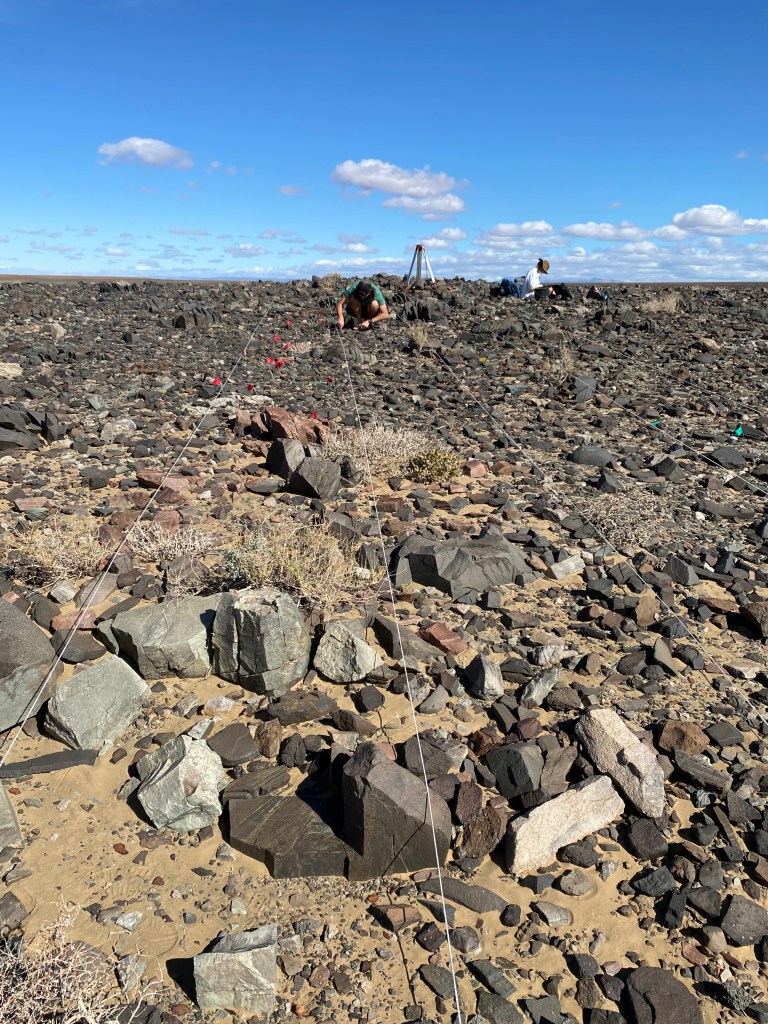
The aim of our fieldwork was to return to our previous study site Tweefontein (see our 2020 PloS ONE paper for details) to gather new 3D scan data for artefacts over a larger area. Beginning at the densest part of the surface artefact scatter, we laid out a grid of 1 m transects from which we sampled our stone tools.
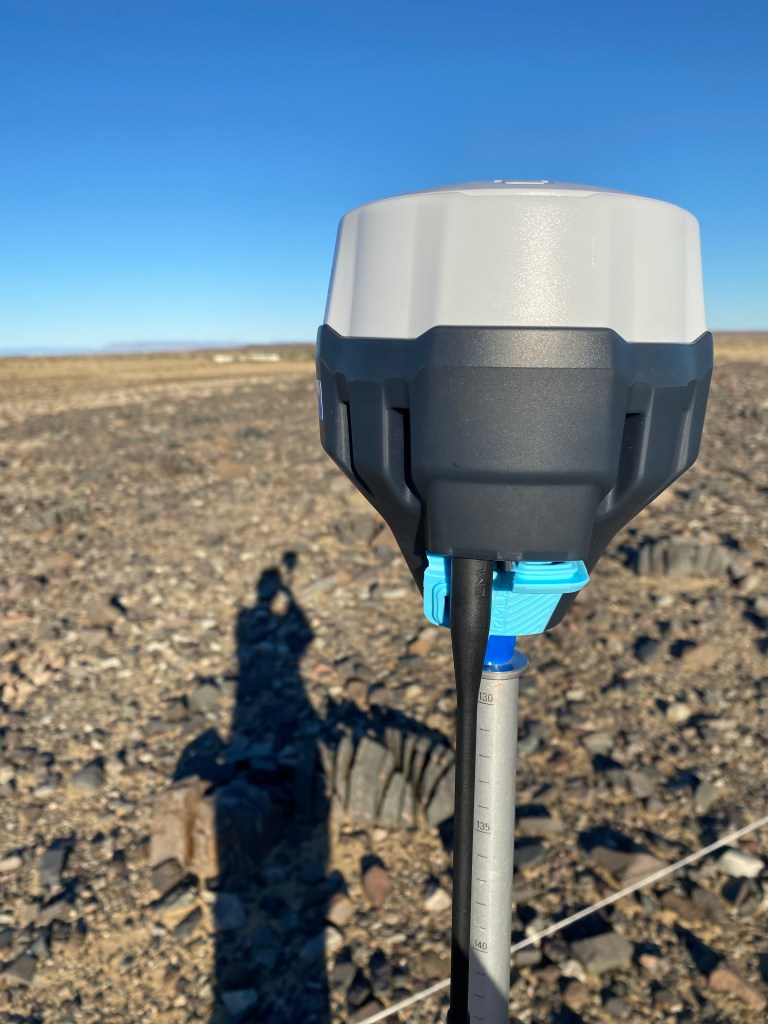
We left all artefacts in situ, carefully marking their locations with numbered flags, recording their position with a dGPS and then removing them temporarily for analysis. This ‘catch and release’ method causes very minimal disturbance to the site and is accepted practice in South Africa without requiring a permit from the heritage management organisation. In addition to taking technological and metric attributes and photographs, our main aim was to make 3D scans for shape analysis (Geometric Morphometrics), and to digitally measure angles on the artefacts that are difficult to capture accurately using hand measuring tools.
Cores are a good overall indicator of technology since they are the by-product of making tools (flakes or points) and tell us about strategies for managing stone raw material. Nubian cores were the main core type of interest, but we needed to know what other core technology was employed at the site to begin to answer questions about how the technology originated and what role it served toolmakers in this specific region.
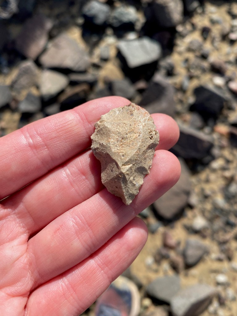
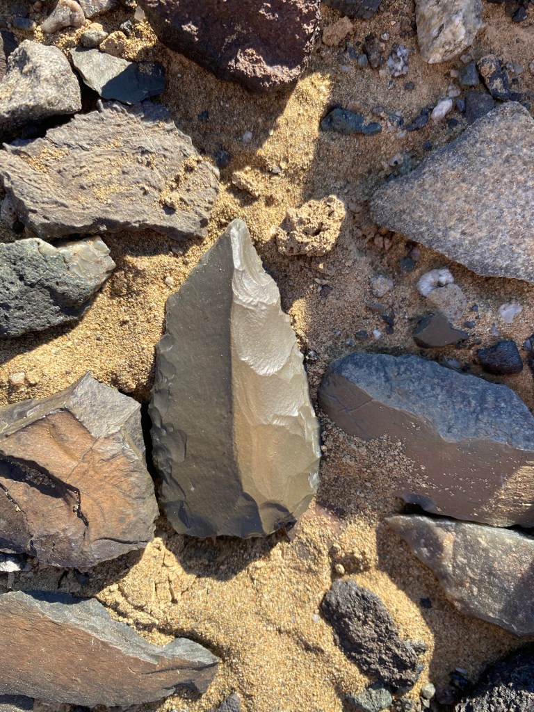
Points allow us to study the end-product of flaking using the Nubian strategy, with complete artefacts providing information on shape and size.
Light-grey chert was a relatively rare raw material at the site meaning that we could attempt to refit pieces (we already had one point and Nubian core refit), as well as providing a control sample for other artefact types that were not included under cores and points.
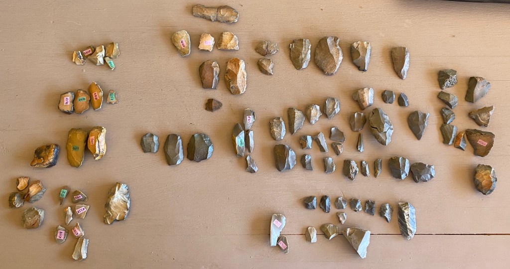
In total, we recorded and scanned 110 Nubian cores, 210 other core types and 70 points. That’s a lot of data to process and analyse but it should yield exciting results. You can read about 3D scanning in the next post.


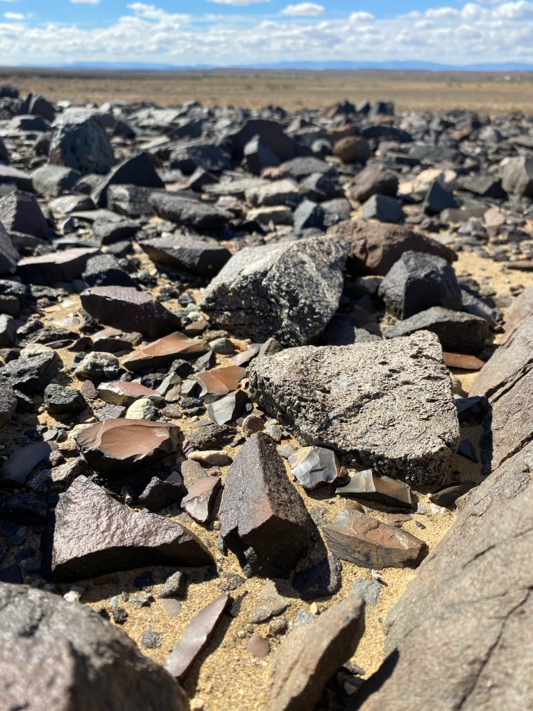
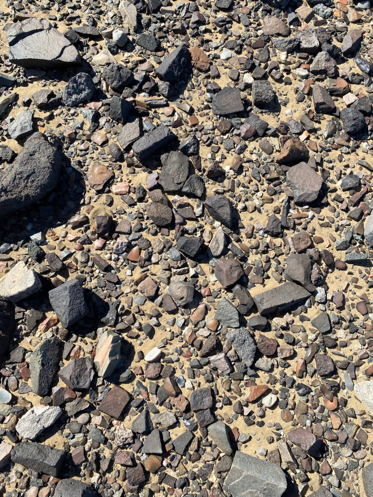
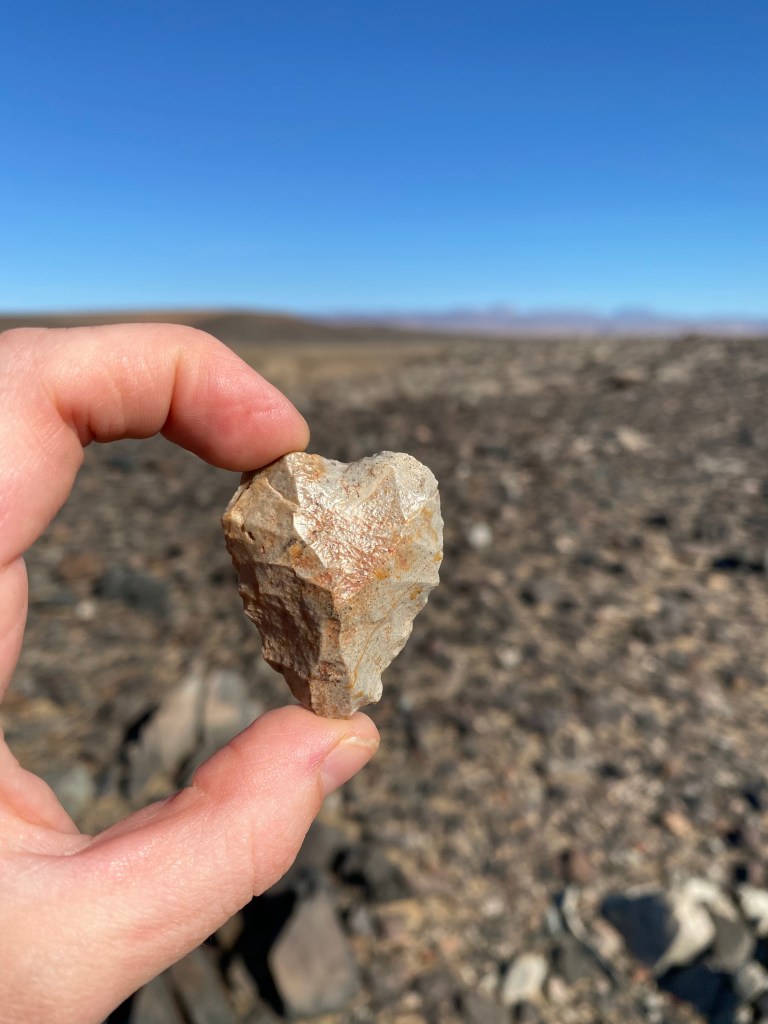

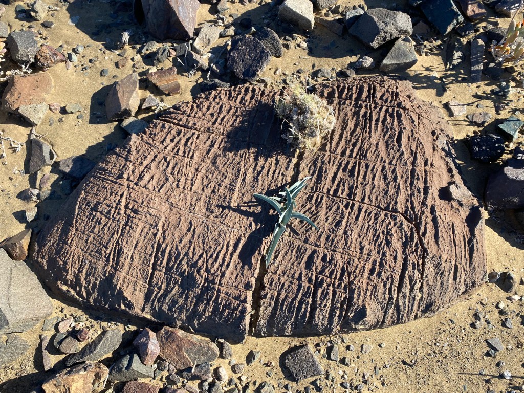
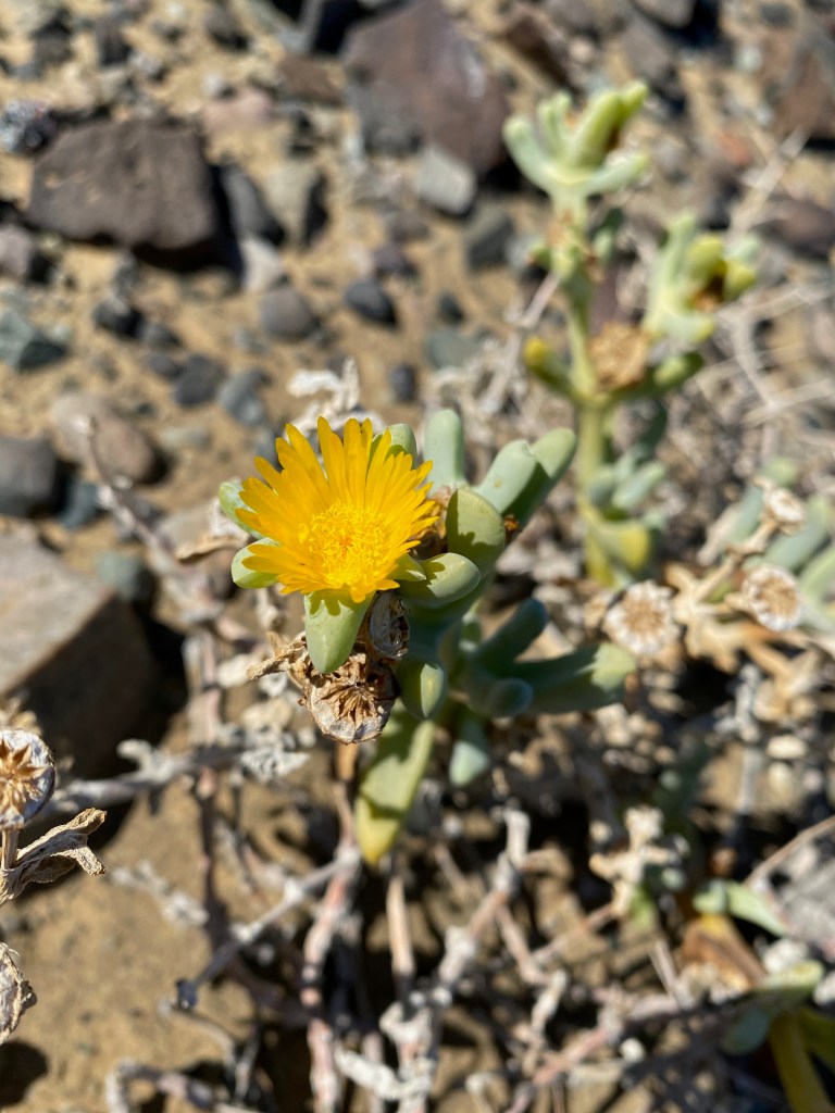
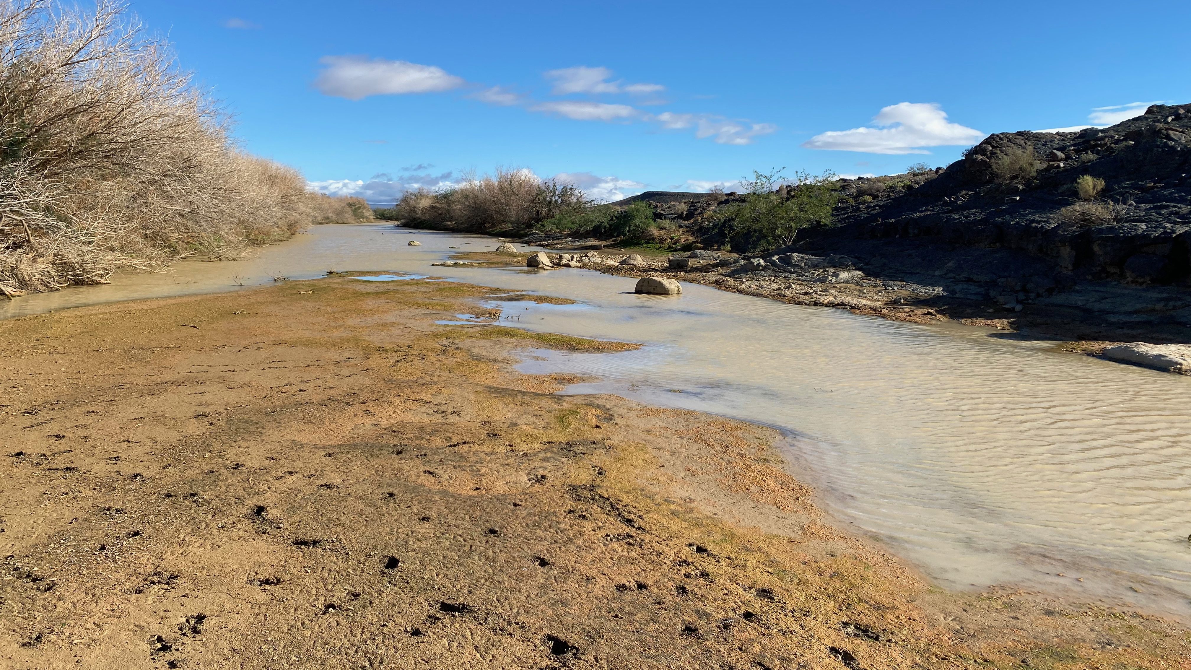

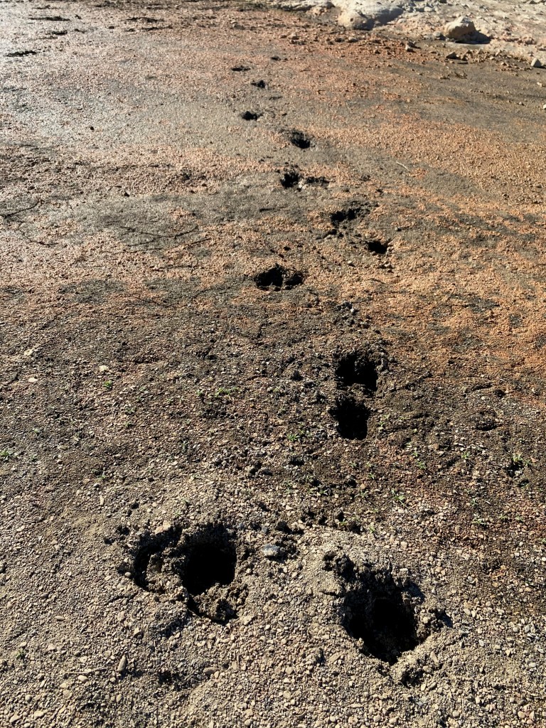
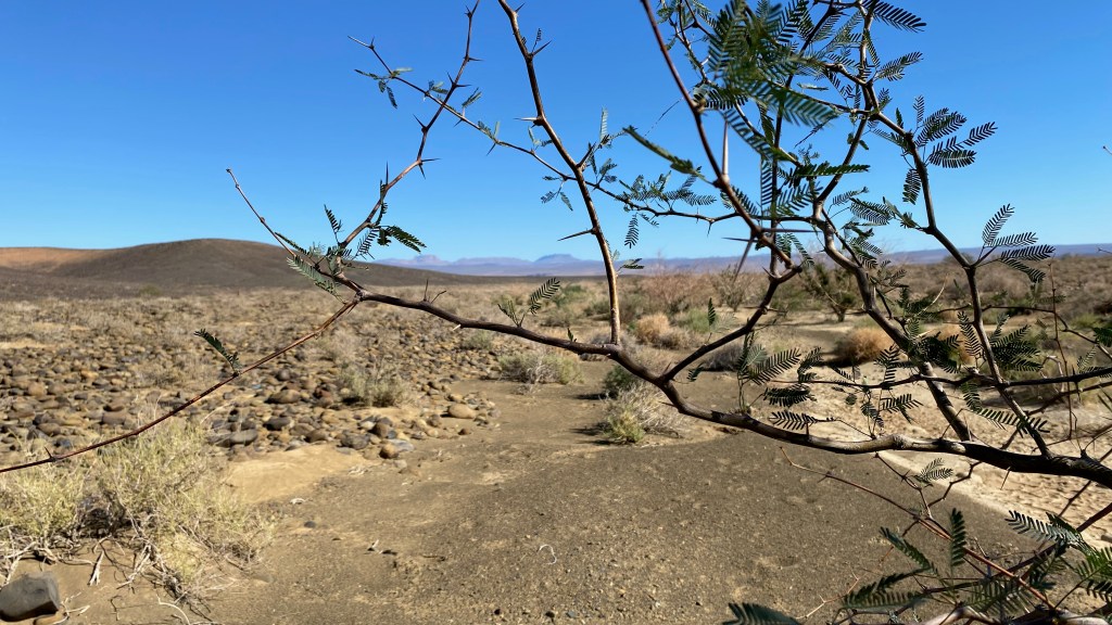
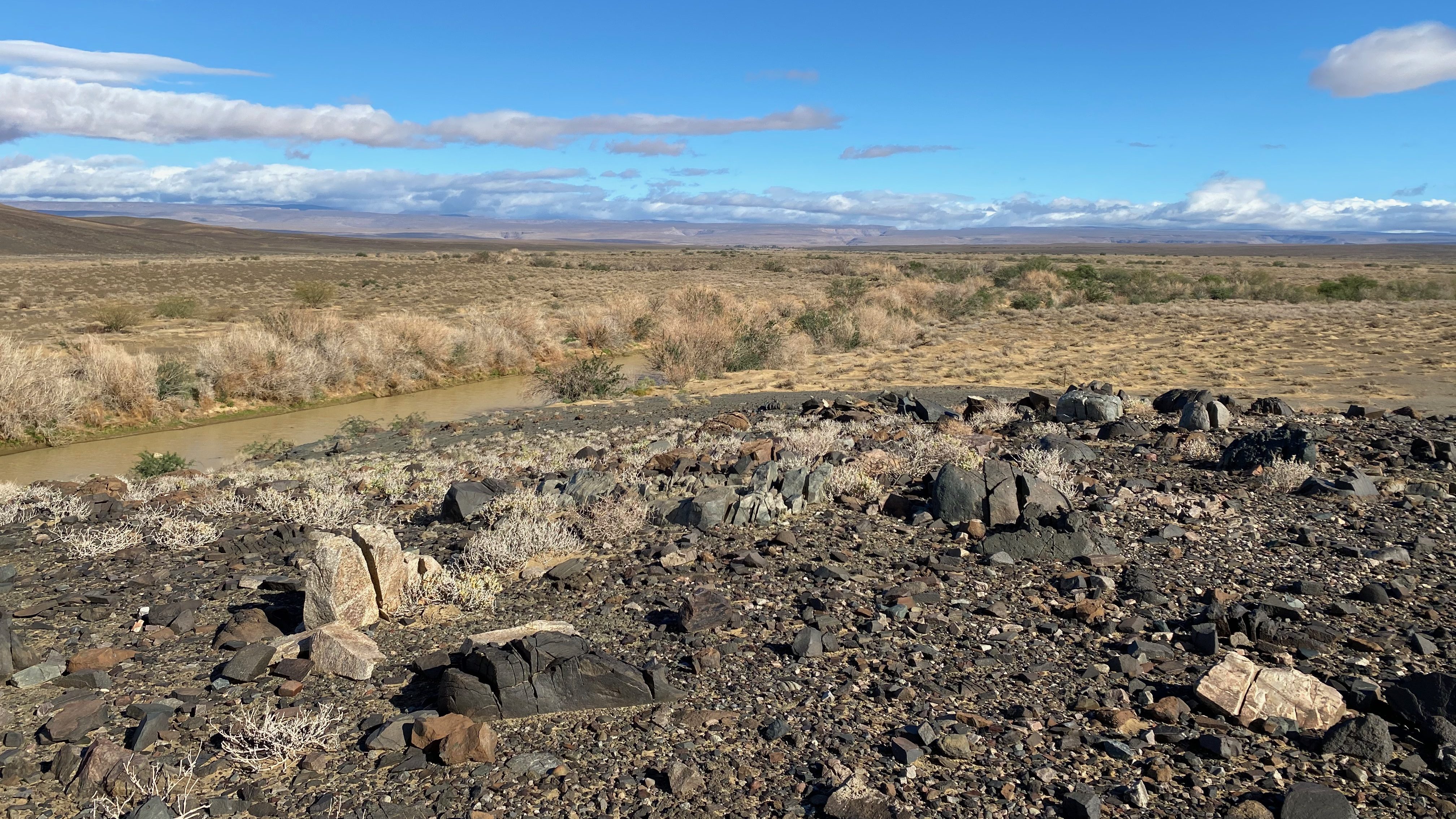
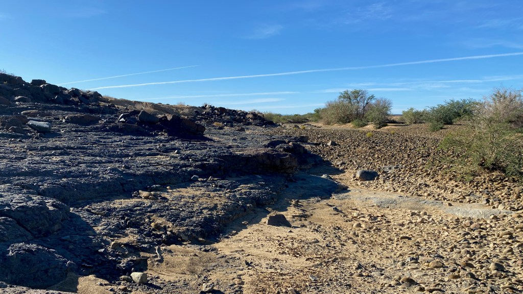
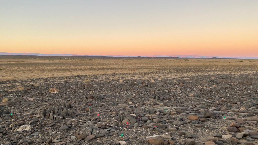


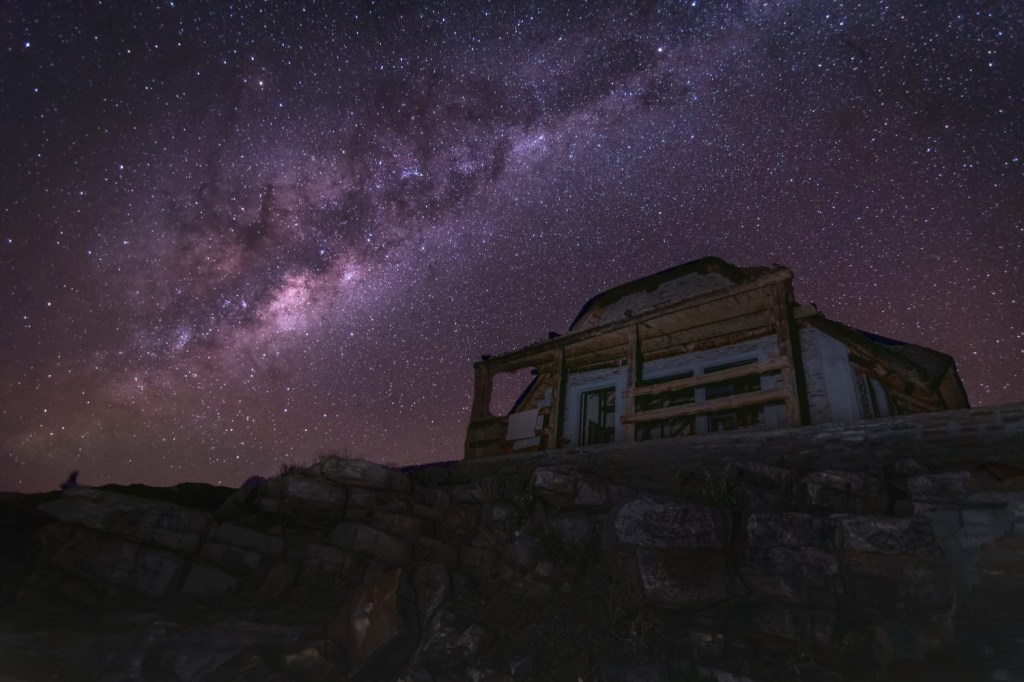
Photo credit: Matt Shaw 
Photo credit: Matt Shaw